Smart Add Data

Provides extended and enriched functionality of adding datasets in maps in ArcMap.
 Available in XTools Pro for ArcMap
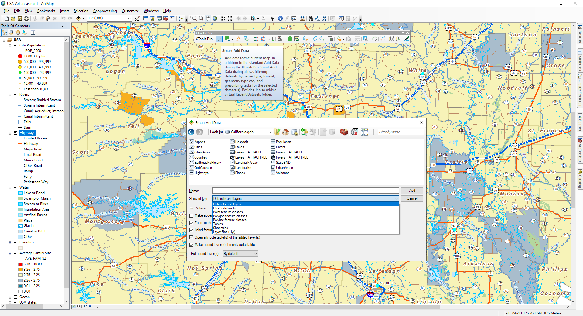
In addition to the standard “Add Data” functionality in ArcGIS, XTools Pro “Smart Add Data” dialog provides an alternative approach to adding data in ArcMap.
As often happens while working with your map project, one day you face a huge amount of data of different types and formats stored in your project folder. Sooner or later it becomes quite complicated to find specific data in such folders, if you need to add some features on your map.
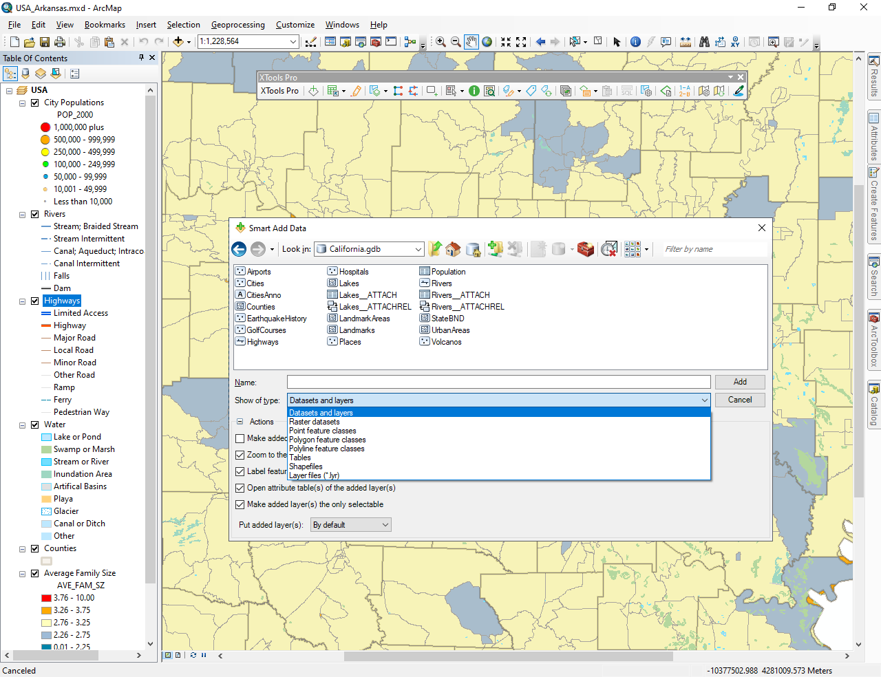
Using the XTools Pro “Smart Add Data” you will be able to solve this issue with ease – just apply the required filter and sort your data (by names, data types and formats, geometry types, etc.)!
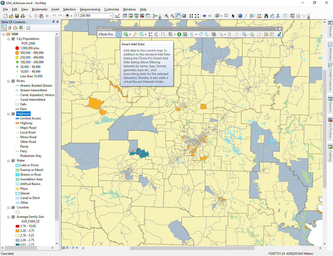
Being placed by default on the XTools Pro toolbar, the dialog can also be set to replace the standard “Add Data” dialog in the TOC context menu:

Besides, it allows prescribing a number of tasks for the selected dataset to be added in the map:
- Make added layer(s) as invisible
- Zoom to the added layer(s)
- Label features of the added layer(s) - primary display field will be used for labeling
- Open attribute table(s) of the added layer(s)
- Make added layer(s) the only selectable
- Put added layer(s): By default/On top/At the bottom in the TOC window.

Press the “Smart Add Data” button on the XTools Pro toolbar and browse for the required dataset. At that, if you start typing in the “Filter by name” window this will narrow the list of the datasets.
Actions - one or all actions can be selected. If you don't need actions, you can just hide them.
Besides, you can select the “Recent Datasets” virtual folder from the “Look in” pull-down list. This folder lists 30 most recent datasets you added previously in ArcMap. If you point to the dataset with a mouse cursor, the pop-up tip will show the actual path to the dataset. At that, please note that only the datasets added with the “Smart Add Data” dialog are tracked and considered as Recent Datasets.
 Paid tool.