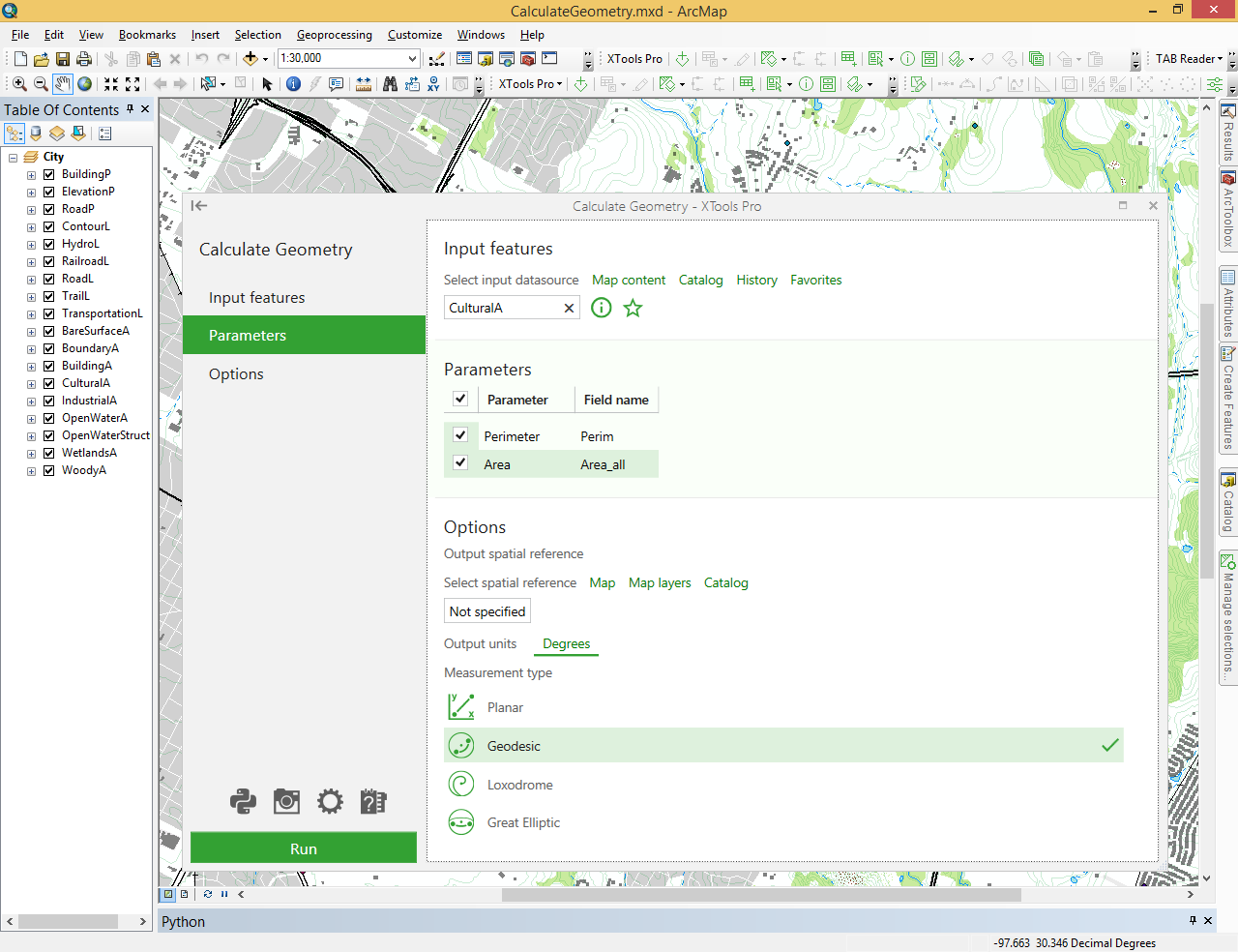
Calculate Geometry
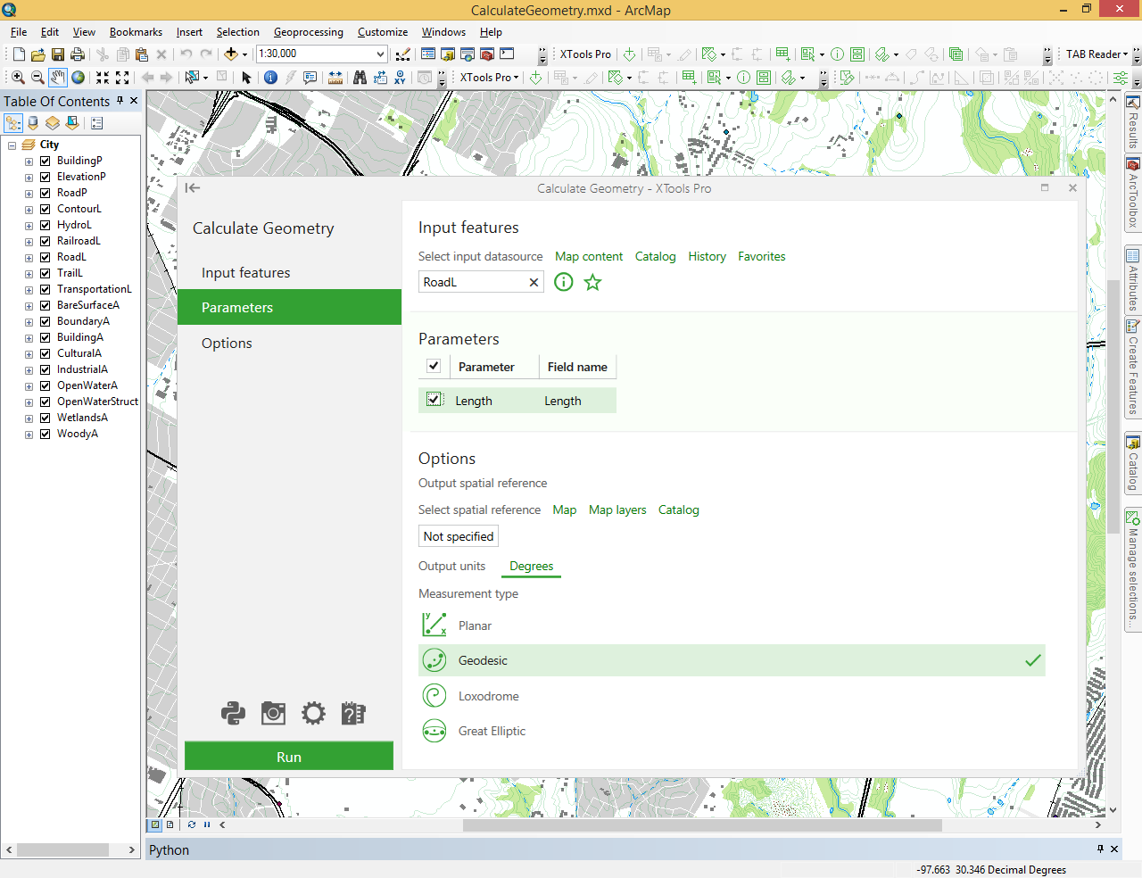
Сalculates perimeter and area values (including hectares and acres) for polygon layers and length for polyline layers.
 Available in XTools Pro for ArcMap and for ArcGIS Pro
To calculate geometry with the standard ArcGIS tools, the field for calculated data entry must be created in the attribute table in advance. At that, only layer or data frame coordinate system can be used for calculation, and only one geometry parameter can be calculated per one operation.
Unlike standard ArcGIS calculation tool, the XTools Pro “Calculate geometry” tool allows selecting any coordinate system to calculate feature geometry.
Besides, XTools Pro allows calculating several parameters per one operation. The fields in attribute table are created automatically with names corresponding to the names of appropriate attributes by default. Field names specified by default can be changed in the “Field name” column of the “Parameters” dialog.