Add X, Y, Z Coordinates
Adds X, Y, and Z coordinates to attribute tables of point, multipoint, polyline, and polygon layers.
 Available in XTools Pro for ArcMap and for ArcGIS Pro
When adding coordinates with standard ArcGIS tools, the field where to the layer features coordinates will be recorded should be created in the attribute table in advance. At that, only layer or data frame coordinate system can be used for calculation, and only one coordinate value can be added per one operation.
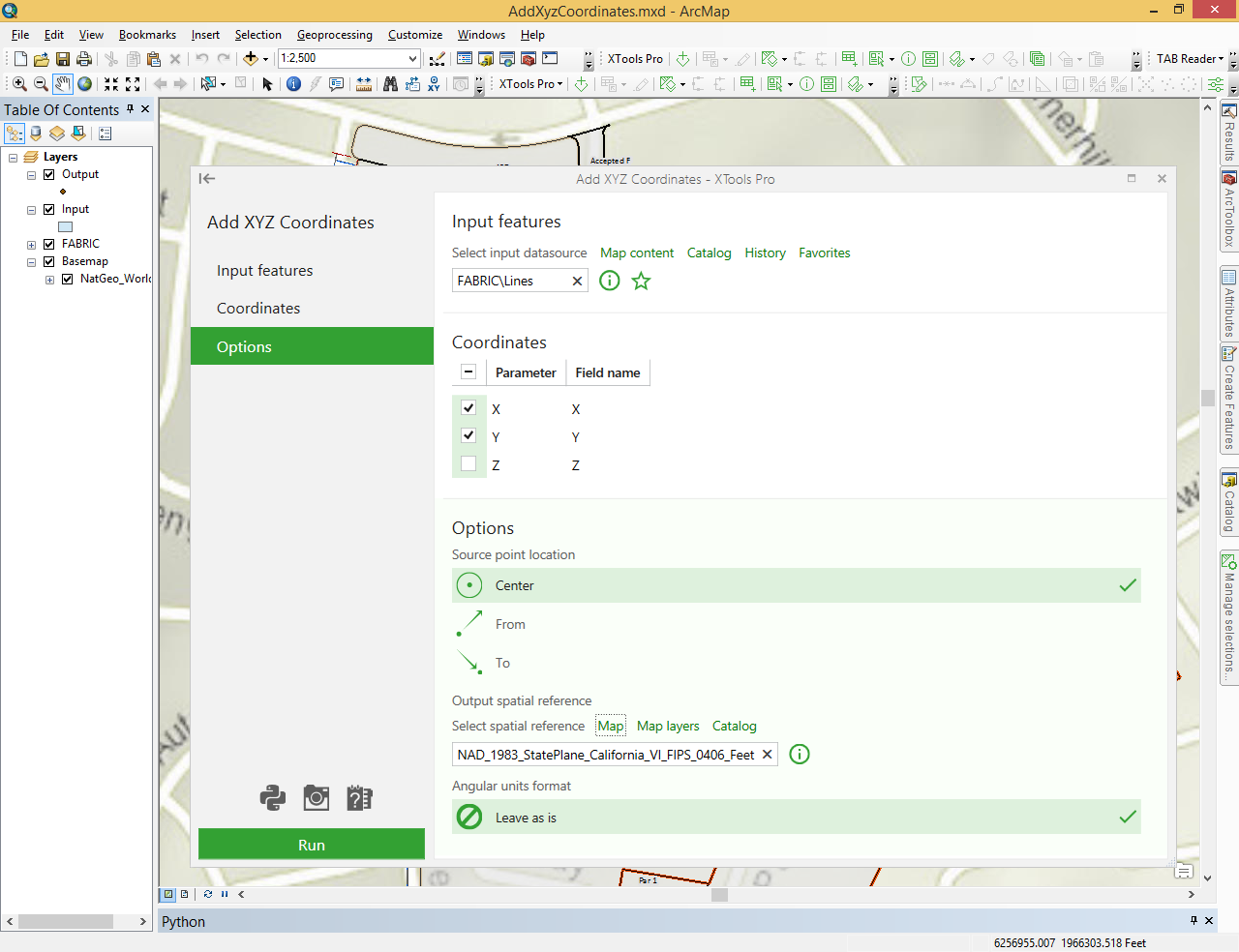
In contrast to ArcGIS tools, the XTools Pro “Add X, Y, Z Coordinates” tool allows selecting any coordinate system and calculating several parameters per one operation. Fields in the attribute table are created automatically with names corresponding to the names of appropriate attributes by default. The field names specified by default can be changed in the “Field name” column of the “Coordinates” dialog.
X, Y, Z coordinates can be added to the attribute tables of point, multipoint, polyline and polygon layers.
- For point layers the tool adds X, Y and Z coordinates for all features to the attribute table of the layer.
- For multipoint layers the tool adds X, Y and Z coordinates of center points or real nearest to center point to the attribute table of the layer.
- For polyline layers the tool adds X, Y and Z coordinates of the user-defined polylines to the attribute table of the layer. For polylines coordinates of the From, To, or Center point can be added.
- For polygon layers the tool adds X and Y coordinates of center or features label points to the attribute table of the layer.
Note that Z coordinate can be added for three-dimensional features only.