Update Polygon Layer
Сreates new layer by overlaying two feature layers.
 Available in XTools Pro for ArcMap and for ArcGIS Pro
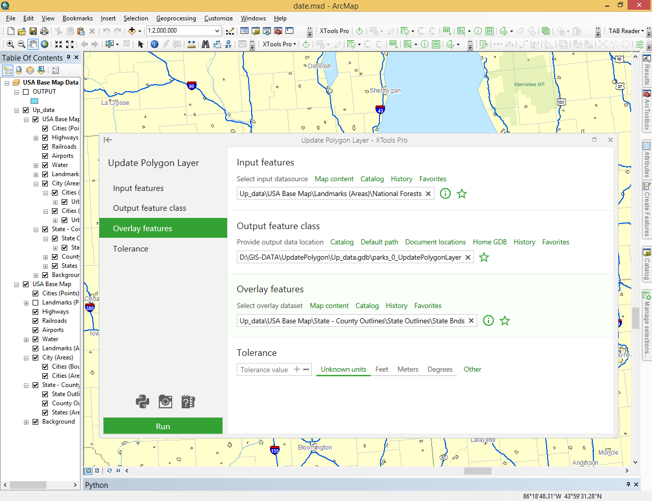
The “Update Polygon Layer” tool creates a new layer by overlaying two vector layers. The features of the overlay layer define the updating extent. The tool uses the updating extent in a "cut-and-paste" operation; overlay layer features replace the area they overlap in the input layer. The result is stored in the output layer. Both the input and overlay layers must be polygon layers.
Attributes of the Input layer are maintained in the output layer. Each polygon shape in the overlay layer will have one record in the output layer. Attributes of the overlay layer will be transferred to the output layer, for those fields that have names and data types that match a field name and type in the input layer.
The “Update Polygon Layer” tool is one of XTools Pro tools for work with layers. The tool functionality is similar to the “Erase Polygon Layer” tool, except that the input layer features which overlap the updating extent are erased instead of being updated. The tool can also be used on polyline and point features.