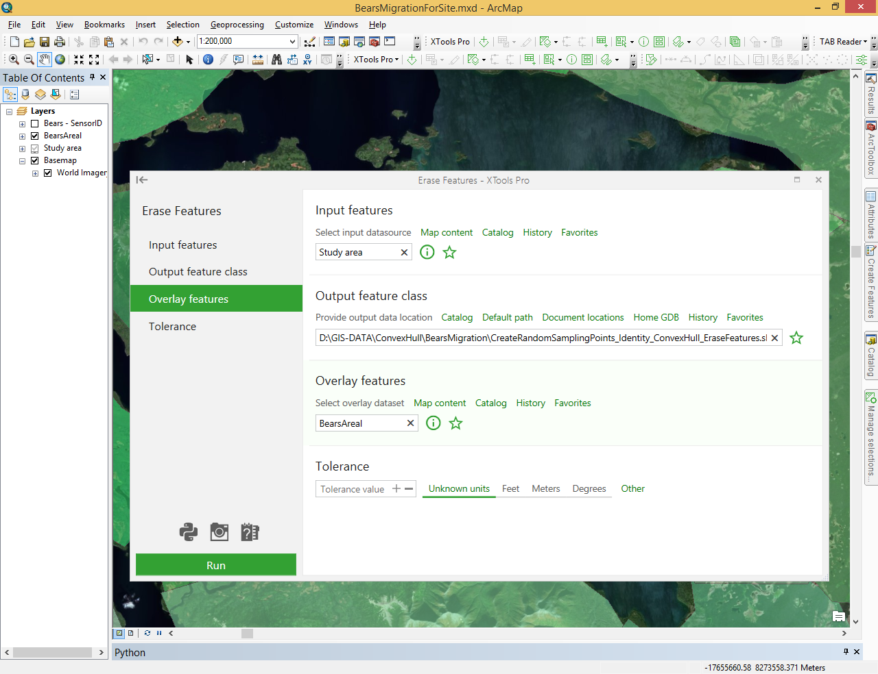
Erase Features

Erases features from input layer by features of overlaying layer.
 Available in XTools Pro for ArcMap and for ArcGIS Pro
The “Erase Features” tool creates new layer by overlaying two vector layers. The overlay features define boundaries of the erasing features. Input features that are within the erasing features are removed. The output feature class contains only those input features falling outside the erasing features.

The overlay erasing layer features can be points, polylines, or polygons, at that the input layer features should be of the same or simpler geometry type.
Output layer features should be of the same geometry type as the input layer features. They are clipped by the external boundary of the overlay layer polygons. The attribute table for the output layer contains the same items as the input layer attribute table.