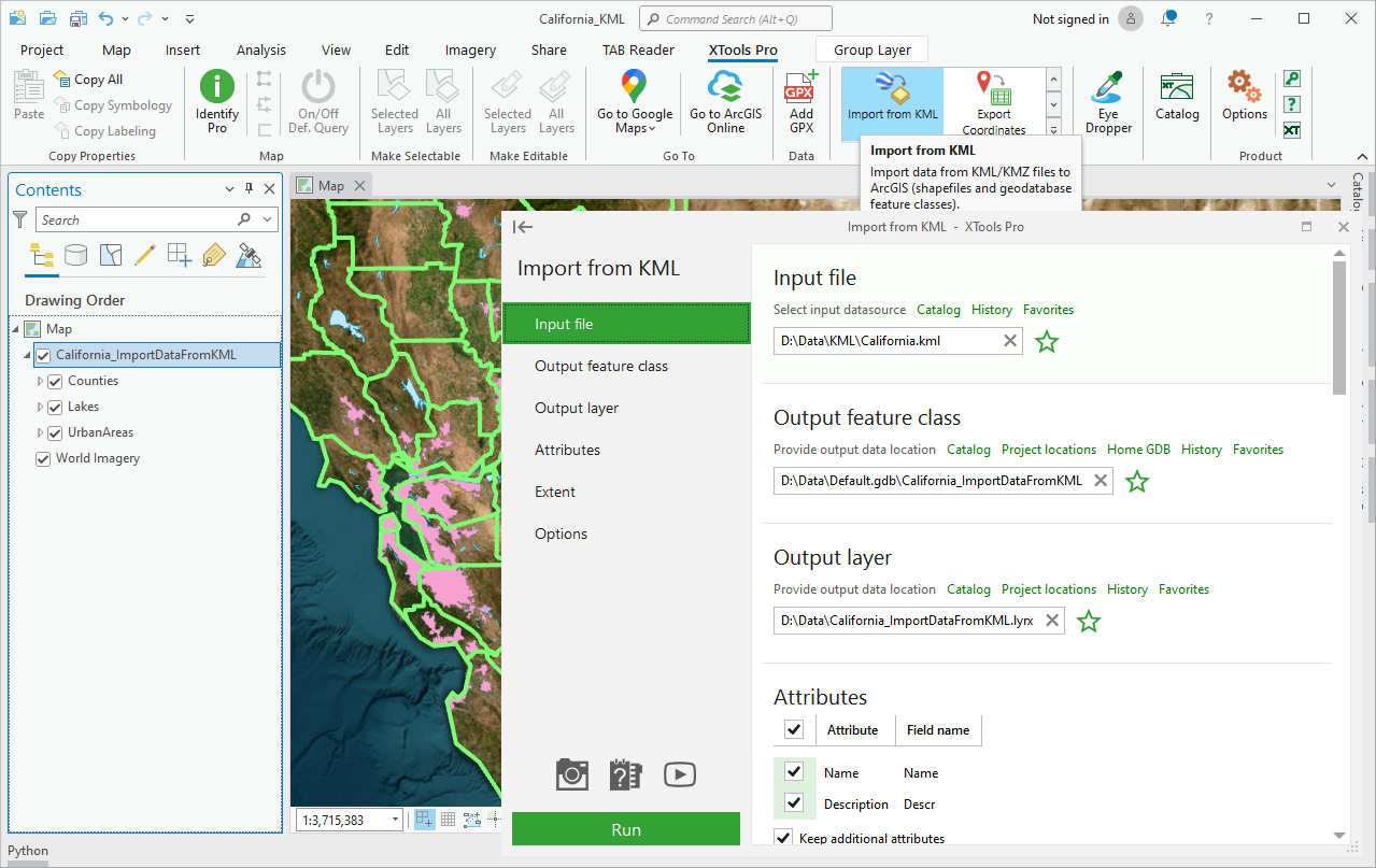
Import from KML
Imports data from KML/KMZ format to ArcGIS supported formats.
 Available in XTools Pro for ArcMap and for ArcGIS Pro
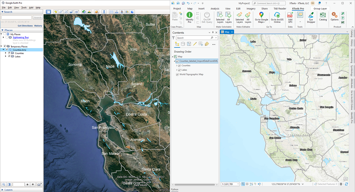
KML (Keyhole Markup Language) is an XML grammar and file format for modeling and storing geographic features such as points, lines, images, polygons, and models for display in Google Earth and Google Maps.
You can use KML format to share places and information with other users of Google Earth and Google Maps. Likewise, you can find KML files on the Google Earth Community site that describe interesting features and places.
The XTools Pro “Import from KML” tool allows importing vector data from KML/KMZ format to ArcGIS supported formats. Imported KML data can be used in ArcGIS for solving various GIS-tasks, data editing and updating.
Video Tutorial
In this video you will see a practical example of using the XTools Pro “Import Data from KML” tool.
The tool functionality is demonstrated by importing polygons of buildings of California State University Northridge campus in Los Angeles, from KML file to a new 3D feature class in ArcGIS.
 Paid tool. Try this and all other XTools Pro features free for 14 days or buy XTools Pro license now.