September 28, 2018
Reading time: 1 minute(s)
Features to Points
Reading time: 1 minute(s)
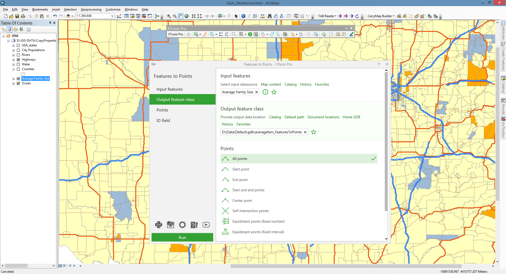
Aimed to conversion of polygon and polyline features to points.
 Available in XTools Pro for ArcMap and for ArcGIS Pro
The tool provides ArcGIS users with capabilities to convert polygon and polyline features to points with customizable options.
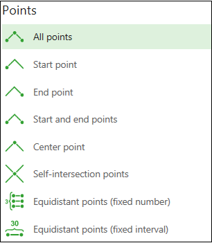
Options available for selecting input feature points:
- All points - all points (nodes) forming input features will be converted
- Start point - only the start points will be converted
- End point - only the end points will be converted
- Start and End points - both start and end points will be converted
- Center point - only the center points will be converted
- Self-intersection points - points of self-intersections will be converted
- Equidistant points (fixed number) - a given number of equidistant points will be derived from the input features and converted to points
- Equidistant points (fixed interval) - equidistant points with the fixed specified interval between them will be derived from the input features and converted to points.
Video Tutorial
In this video you will see a practical example of using the XTools Pro “Features to Points” tool.
The tool functionality is demonstrated by converting polylines representing New York City's Central Park drives and walkways to equidistant points with specified 100 feet fixed interval between points.