Polygons to Polylines
Converts selected polygons to single part polylines and stores them in new shapefile or geodatabase feature class.
 Available in XTools Pro for ArcMap and for ArcGIS Pro
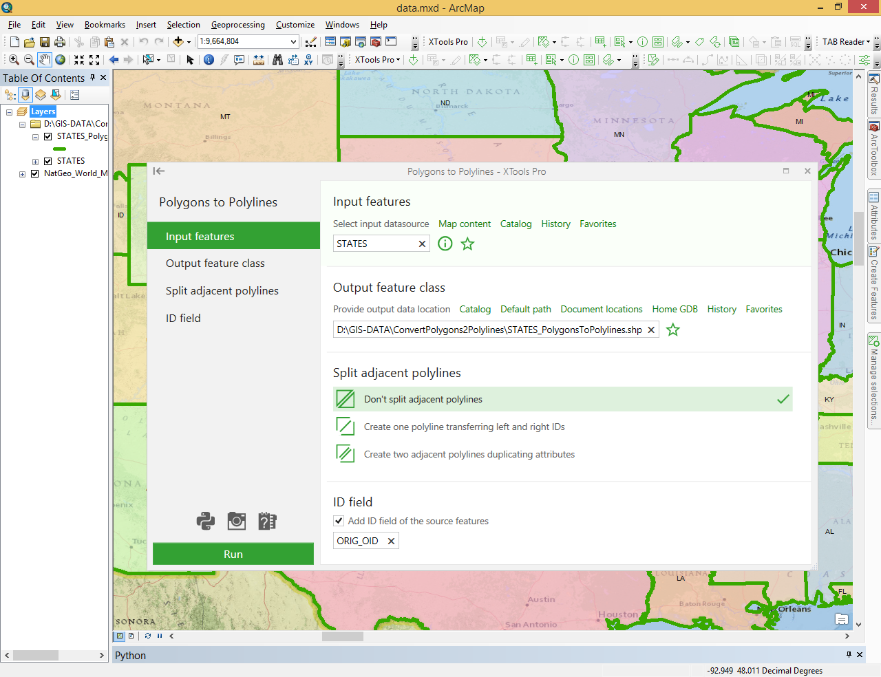
The “Polygons to Polylines” tool is provided for conversion of the selected polygons to polylines. For instance, if polygon features (basins) need to be represented as polyline features (basins bounds).
Created polylines can be stored either in a new shapefile or in the geodatabase feature class. If no polygons are currently selected, all polygons in the layer will be processed. Source layer may include single part, multipart or complex polygons. The output polyline attribute table will consist of the same fields as one of the input polygons, except ID field that can be optionally added.