Working with GPX files
Allows reading GPX files (version 1.0 and 1.1) directly in ArcGIS and adding them to the map.
 Available in XTools Pro for ArcMap and for ArcGIS Pro
Doing field work, traveling or just riding a bike with GPS tracker you can write and collect GPX files with recorded tracks, waypoints or routes. Then you may need to add data collected in the field as GPX files to your map in ArcGIS. This is not always an easy and straightforward process as not so much is available for that out of the box.
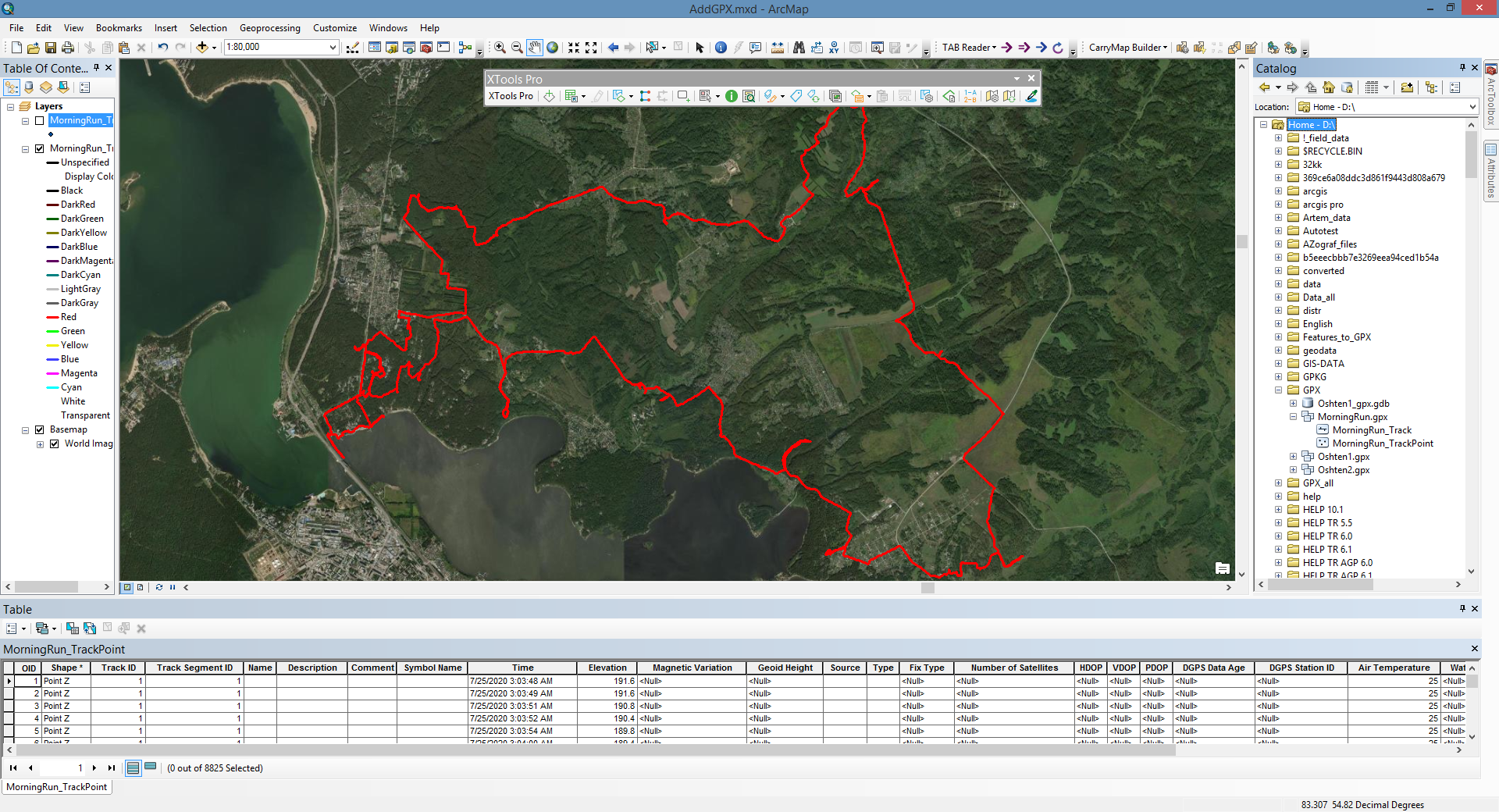
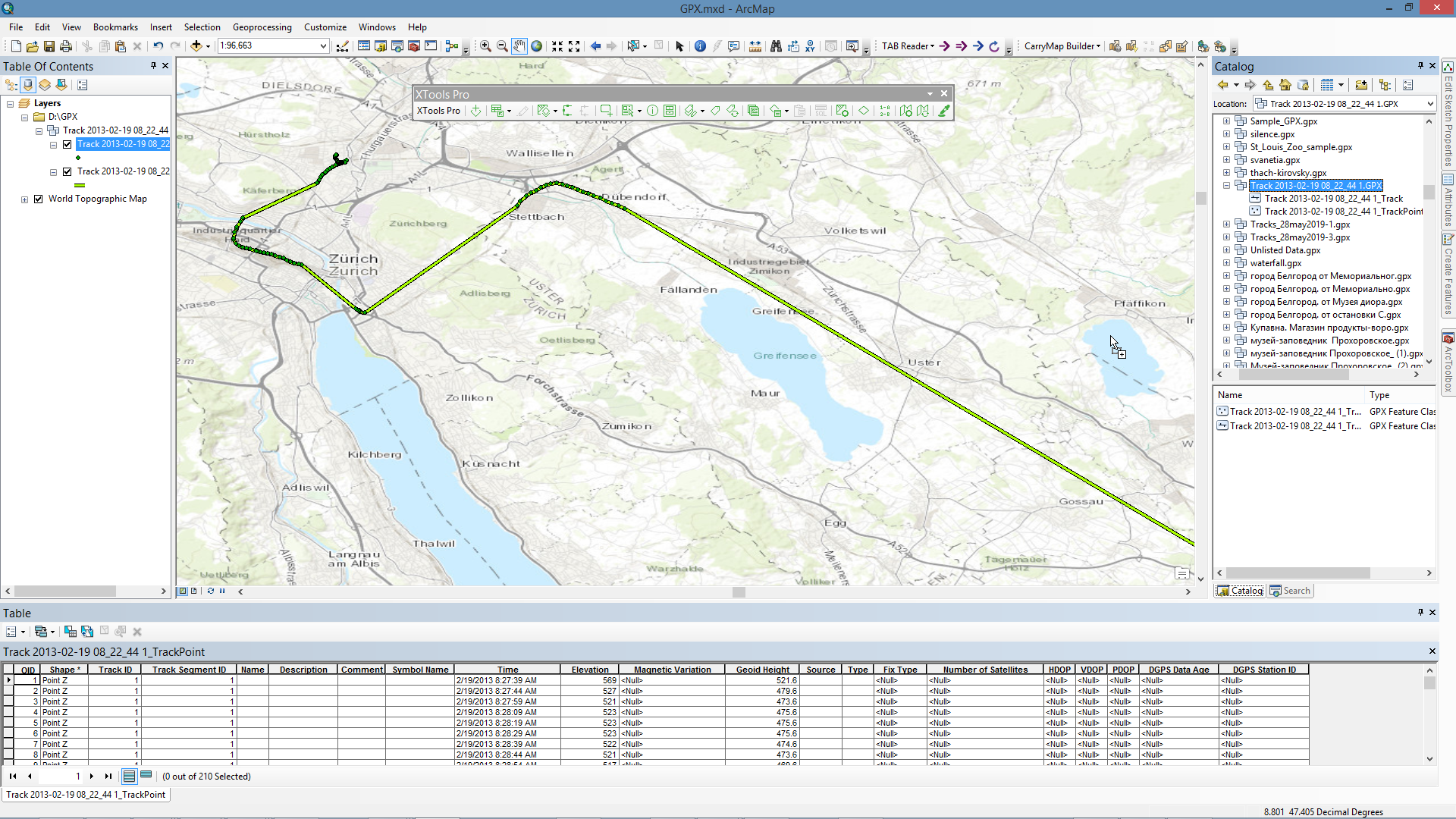
In order to support and facilitate such efforts XTools Pro provides an ArcGIS Plug-in data source that allows reading GPX files (version 1.0 and 1.1) directly in ArcGIS and adding them to the maps. The most part of attributes including extensions saved in GPX file will be kept in a feature layer attribute tables.
Notes:
- Waypoints are added as a Point Z feature layer.
- Routes are added as a group layer with two feature layers: Point Z feature layer with routepoints and Polyline Z feature layer with routes.
- Tracks are added as a group layer with two feature layers: Point Z feature layer with trackpoints and Polyline Z feature layer with tracks. Besides, each track polyline will be multipart feature where tracksegments will be parts.
- If points from GPX file do not have elevation attributes, output feature Z coordinates will be "0".
- Feature layers based on GPX files are added as read-only. Try XTools Pro Import from GPX tool to convert data into geodatabase feature classes or shapefiles.
Supported attributes
All GPX version 1.0 - 1.1 attributes are supported:
for waypoints, routepoints, trackpoints:
- name
- description
- comment
- symbol
- time (UTC)
- elevation (in meters)
- magnetic variation (in degrees)
- geoid height (in meters)
- source
- links
- type (classification) of the point
- type of GPX fix
- number of satellites
- horizontal dilution of precision (hdop)
- vertical dilution of precision (vdop)
- position dillution of precision (pdop)
- number of seconds since last DGPS update (DGPS data age)
- ID of DGPS station used in differential correction
for routes and tracks lines:
- name
- description
- comment
- source
- links
- GPS route/track number
- type (classification) of the route/track
Besides, following extensions are supported:
- GARMIN GPX Extensions v2
- GARMIN GPX Extensions v3
- GARMIN Waypoint Extensions v1
- GARMIN Trackpoint Extensions v1
- GARMIN Trackpoint Extensions v2
Notes:
- All GPX attribute fields are added to the output feature layer by default. If original GPX file doesn't have some attribute data, these output fields will be empty.
- Link attribute may be multiple. Count of output Link attribute fields is defined by the first geometry.
- Extension attribute fields are defined by the first geometry.
Video Tutorial
This video demonstrates how you can use the XTools Pro tools to work with GPX files in ArcGIS.
You will see how you can bring GPX files directly to ArcMap and ArcGIS Pro, import GPX files to ArcGIS formats and export data from ArcGIS to GPX files.
 Paid tool. Try this and all other XTools Pro features free for 14 days or buy XTools Pro license now.