October 2, 2018
Reading time: 1 minute(s)
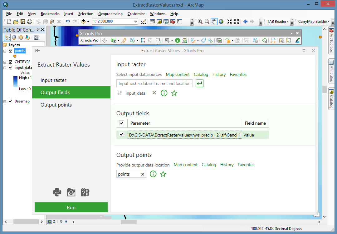
Extract Raster Values
Reading time: 1 minute(s)
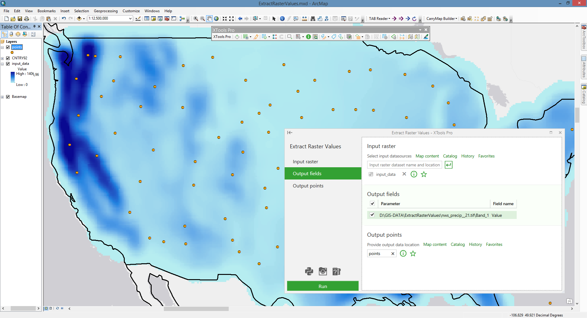
Extracts input raster values at existing points as points attributes.
 Available in XTools Pro for ArcMap and for ArcGIS Pro
The “Extract Raster Values” tool allows extracting raster values (e.g. DEM GRIDs) at the existing point locations, and output them as new attributes of the selected point dataset.
 Paid tool. Try this and all other XTools Pro features free for 14 days or buy XTools Pro license now.