Extract Raster Zonal Statistics
Extracts statistics from raster datasets at zones defined by selected polygons.
 Available in XTools Pro for ArcMap and for ArcGIS Pro
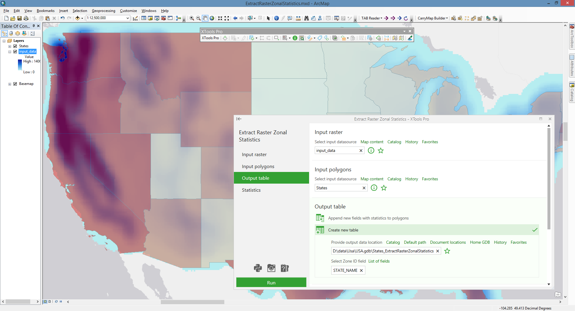
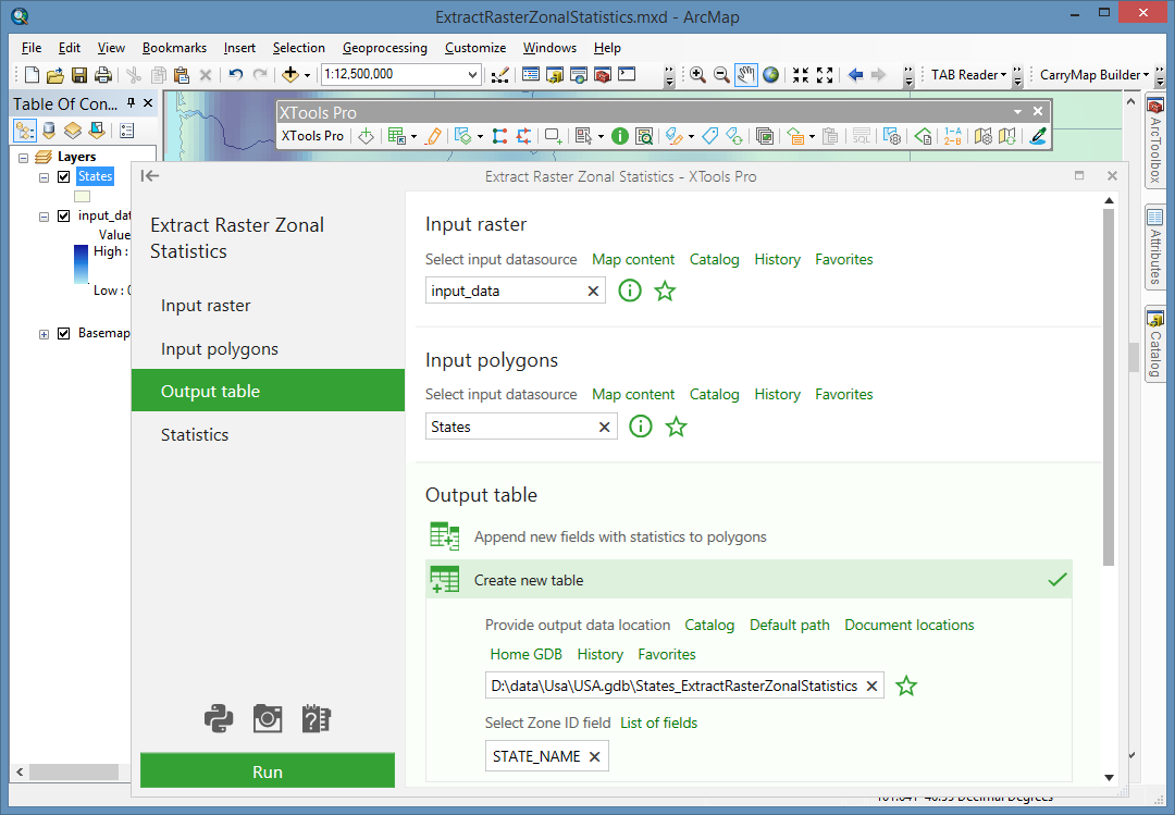
The “Extract Raster Zonal Statistics” tool allows extracting raster statistics from the given zones. The tool works with raster and polygon data. Statistics parameters of raster data are calculated at the given polygon zones and written down either to a polygon attribute table or to a new table.
Additional options and notes:
- Only selected polygons can be used as zones for the statistics generation.
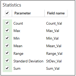
- By default, all supported statistics parameters are selected; only required parameters can be selected if necessary. New field names can be changed.
If there are fields with the same names in the output table, they will be indicated with red exclamation mark.
If polygons do not overlap any part of the raster (for example, polygons cover only NoData cells or do not overlap raster layer at all), then "-999" value is written to the table indicating data absence. Besides, "-999" values are assigned to the non-processed polygons in cases when only selected polygons are processed.
 Paid tool. Try this and all other XTools Pro features free for 14 days or buy XTools Pro license now.