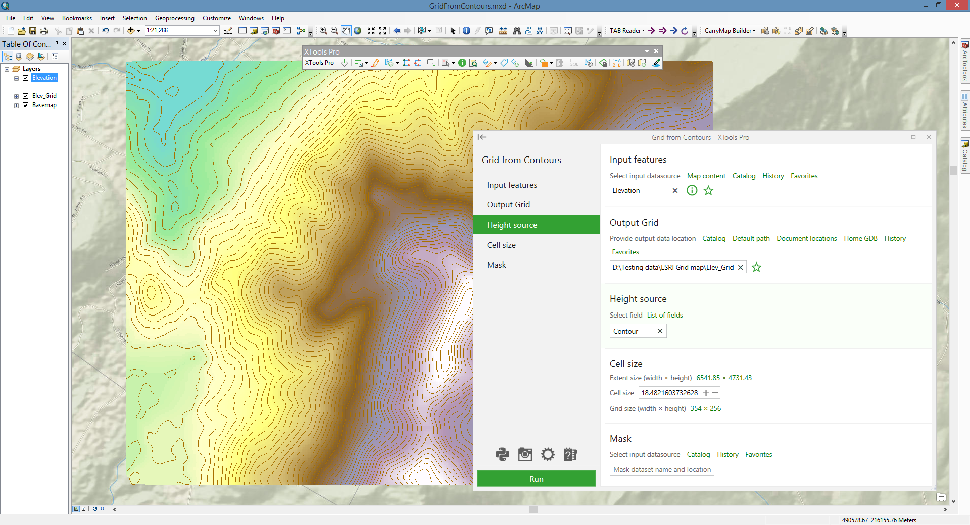
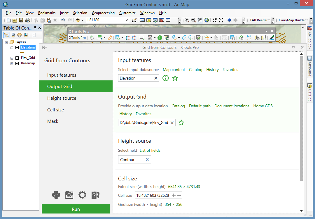
Grid from Contours
Creates grids from contour polylines.
 Available in XTools Pro for ArcMap and for ArcGIS Pro
The tool is meant for creating grids from contours, i.e. it converts vector contours into raster representation.
Grid is a geographic representation of data as an array of cells. Each grid cell is referenced by its geographic X, Y location.
Contour and grid representations of geographic data are inter-convertible. This tool allows building grid of a certain cell size from contour layers.
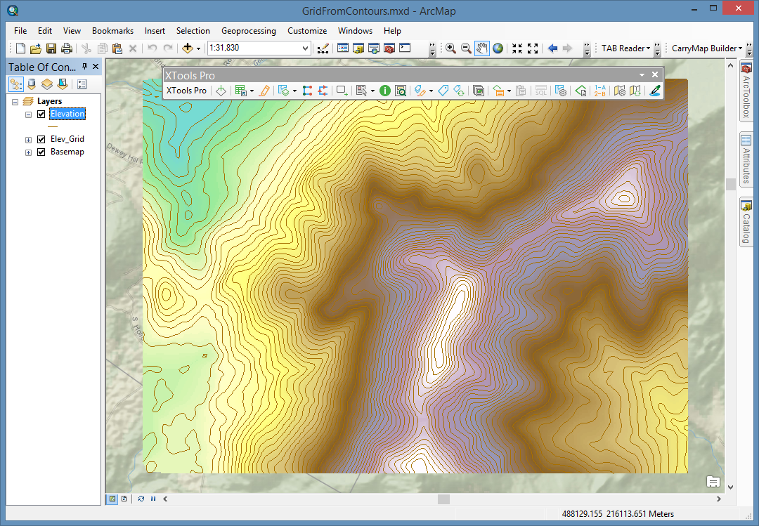
Raster cell is a discretely uniform unit (square or rectangle) that represents a portion of the earth such as a square meter or square mile. Each pixel has a value that corresponds to the feature or characteristic at that site such as a soil type, census tract, or vegetation class.
Creating grid from contours includes triangulation and then interpolation. Prior to those grid parameters should be defined. Grid can be created within the polygon mask area.
 Paid tool. Try this and all other XTools Pro features free for 14 days or buy XTools Pro license now.