“Go to” tools
Tools for viewing your current map location displayed in the ArcMap data frame in the online map services Google Maps, Microsoft Bing Maps, OpenStreetMap, and in the Google Earth or ArcGIS Earth desktop applications.
 Available in XTools Pro for ArcMap and for ArcGIS Pro
Sometimes while vectorizing map using space images not all of your spatial data occur to be informative enough (for example, part of the map area on the satellite image is covered by clouds). Or you may have some spatial data but you may not know the place. Or, you are lost in the datasets you are working with.
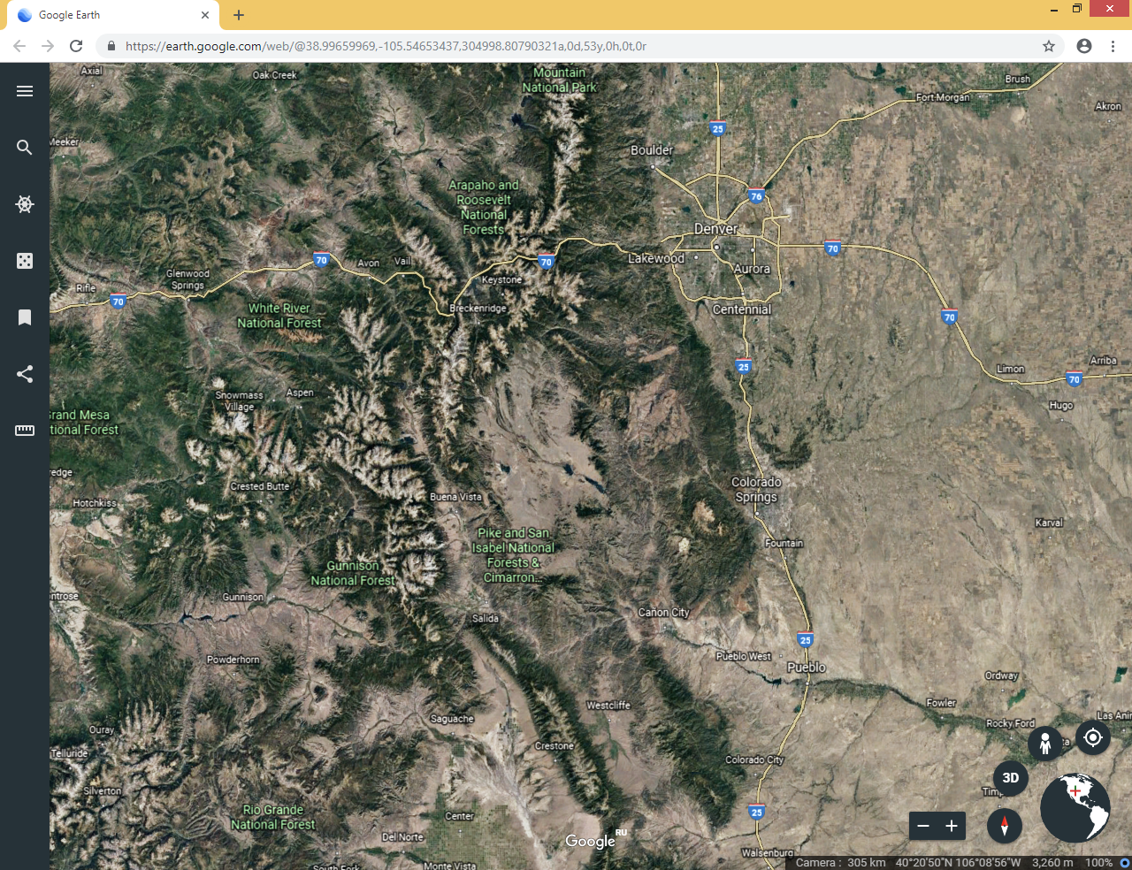
The XTools Pro “Go to” tools will guide you and will help to find bearings in an unfamiliar location. They allow viewing your current map location displayed in the ArcMap data frame in the online map services Google Maps, Microsoft Bing Maps, OpenStreetMap, and in the Google Earth or ArcGIS Earth desktop applications.
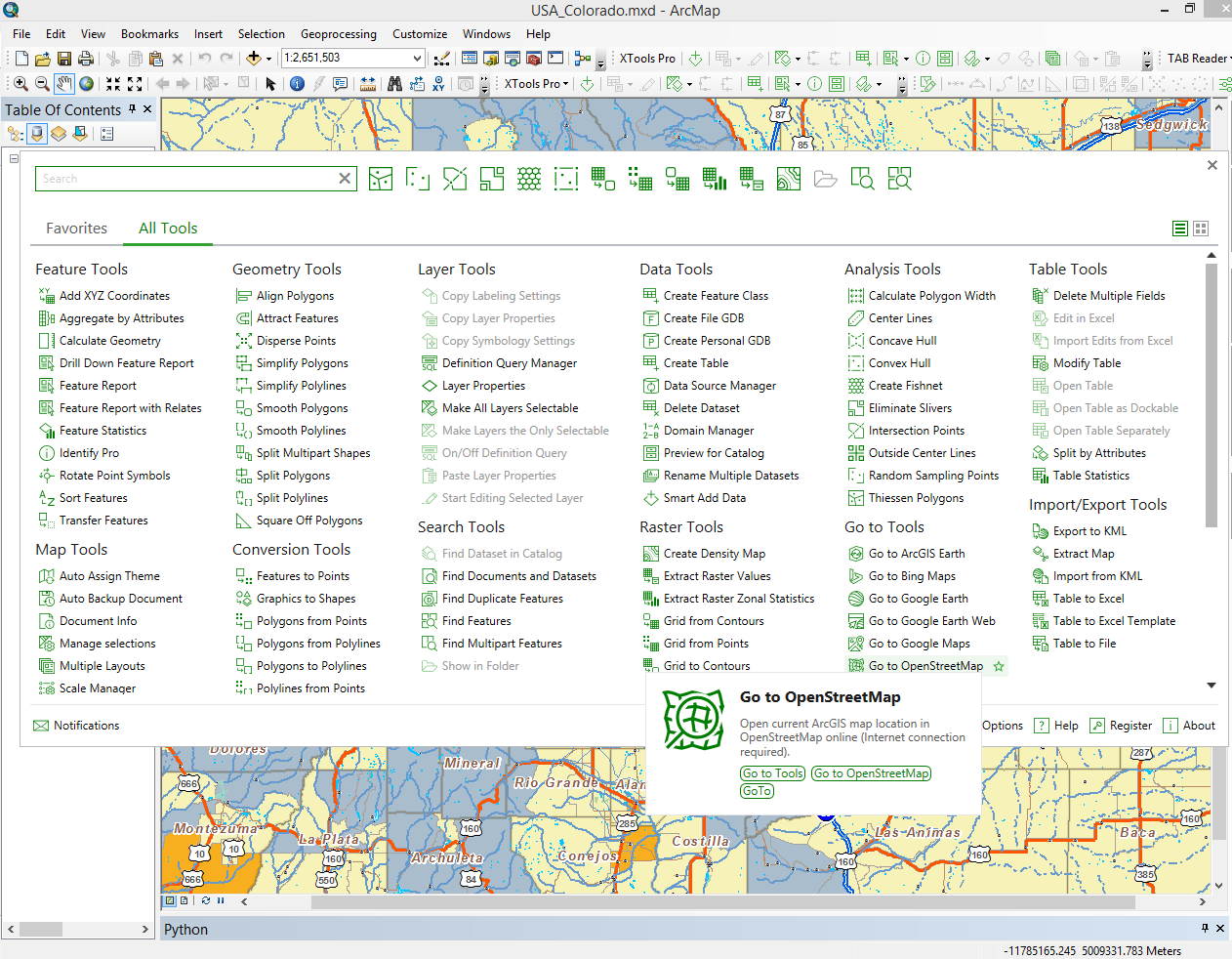
Opening the ArcMap document location in the required service or application you will be able to not only define accurate location of your data, but also to find out what's around the place, where is the place and other information, if any.
Notes:
- Viewing current map location in Google Earth and ArcGIS Earth requires that these applications are installed on the computer.
- Viewing current map location in the Google Maps, Microsoft Bing Maps and OpenStreetMap online services requires Internet connection.
Video Tutorial
This video demonstrates an example of practical application of the XTools Pro “Go to” features.
You will see how these tiny features may help getting familiar with unknown data or finding bearings in an unknown location on the map.
 Paid tool. Try this and all other XTools Pro features free for 14 days or buy XTools Pro license now.