Concave Hull
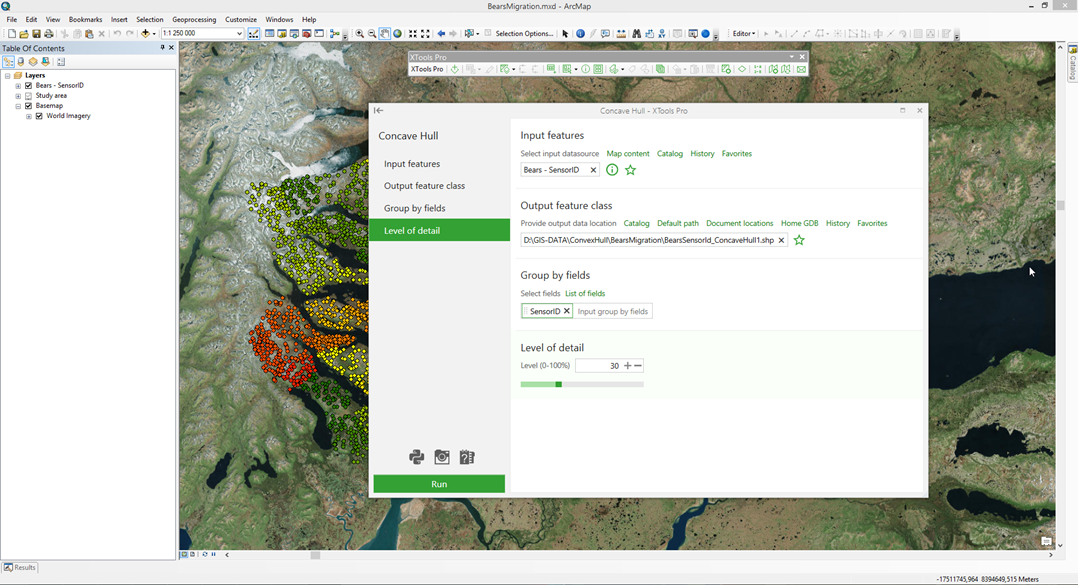
Allows building concave and detailed hulls for features of any geometry type.
 Available in XTools Pro for ArcMap and for ArcGIS Pro
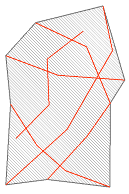
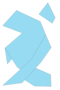
Concave hulls are built for the input features (points, polylines, and polygons) in such a way that all their points/nodes are included to the hull. The concave hull shape depends on the input data type and the level of detail. Besides, there is an option to create multiple hulls. To do so, the fields defining the group for each hull need to be specified. As a result, a new polygon layer will be created.
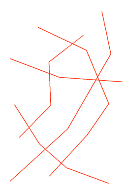
Input feature types
The tool is provided for building concave hulls for features of any geometry type (points, polylines, and polygons).


Detailed hulls
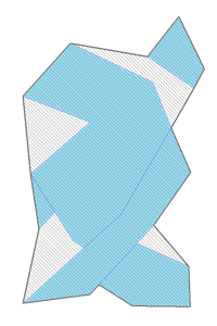
The concavity level depends on the level of detail varying from 0% to 100%. The level of detail 0% means that the hull shape is close to convex hull, but may still not fully coincide with it. With the detail value 100% the empty areas inside the hull will be excluded as much as possible, but they may reside because of the high density of the input points or in cases when boundaries of the input polylines and polygons build a barrier for the concave hull.
| 0% | 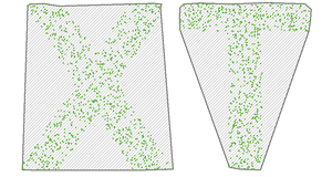 |
| 45% |  |
| 90% | 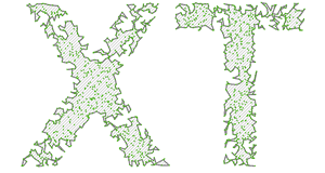 |
Video Tutorial
In this video you will see a practical example of using the XTools Pro “Concave Hull” tool.
The tool functionality is demonstrated by creating detailed hull polygons with holes representing forest areas.
 Paid tool. Try this and all other XTools Pro features free for 14 days or buy XTools Pro license now.