Thiessen Polygons
Builds Thiessen polygons from point features.
 Available in XTools Pro for ArcMap and for ArcGIS Pro
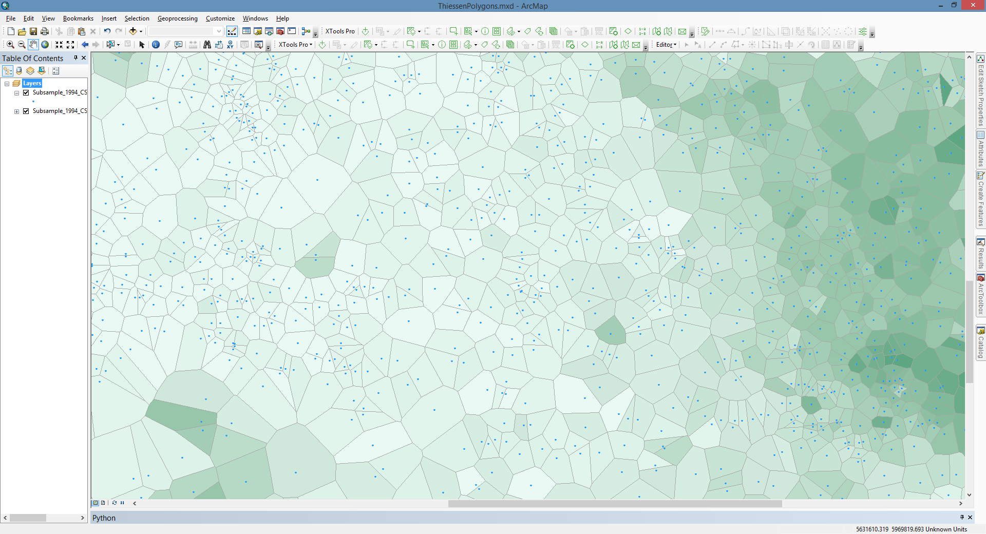
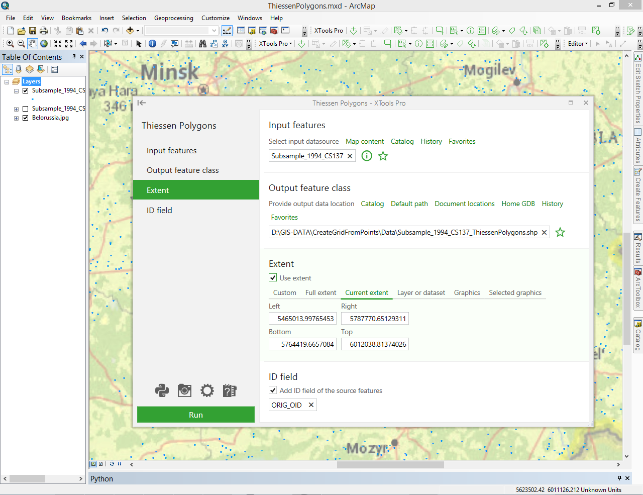
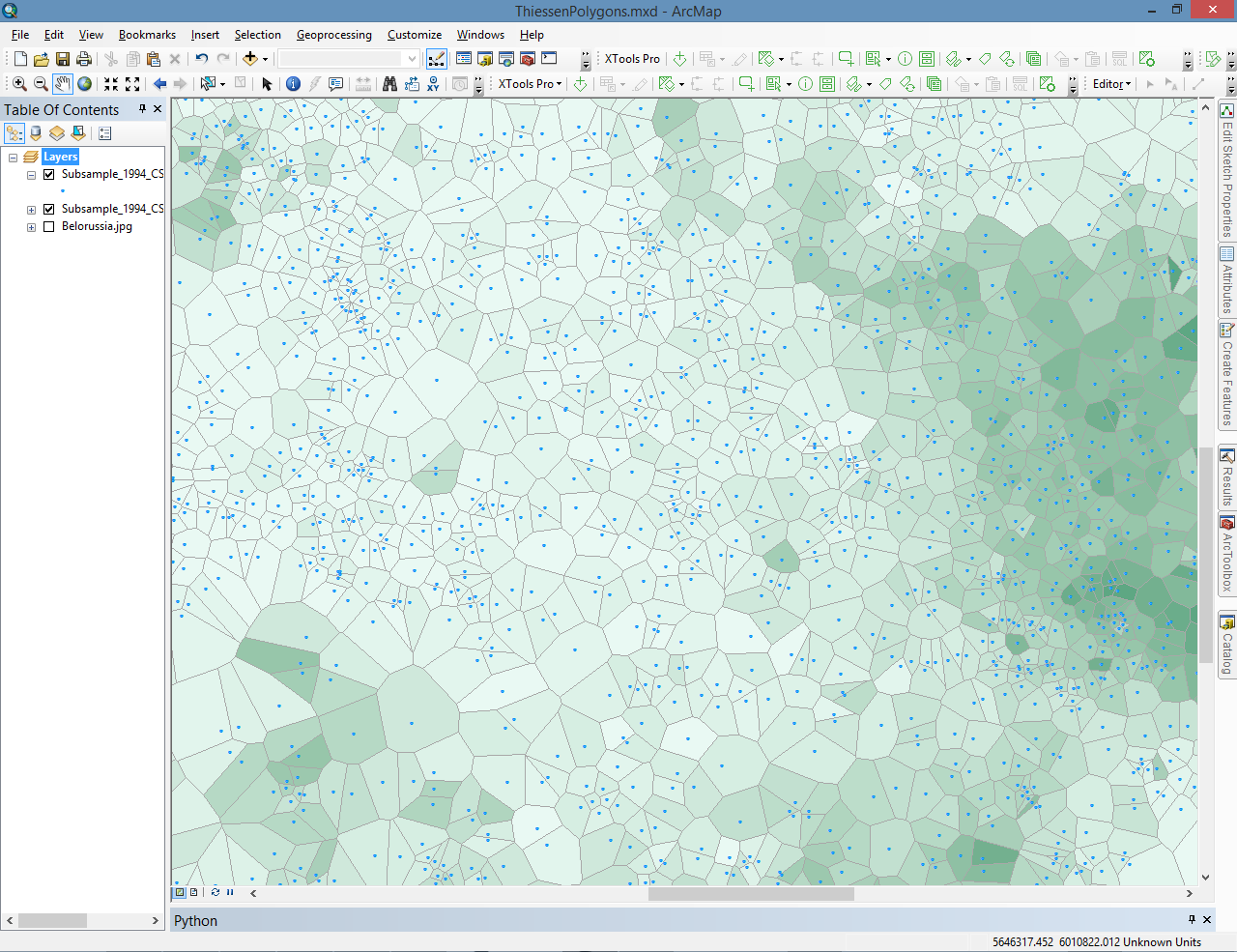
The “Thiessen Polygons” tool is provided for building Thiessen polygons from the point features. Each Thiessen polygon defines solid area around input point, where any location inside the polygon is closer to that point than any of the other input points.
Thiessen polygons are the polygons generated from points and defined by the perpendicular bisectors of the lines between all points and drawn so that each polygon bounds the region that is closer to one point than to any adjacent point. Building Thiessen polygons includes two steps - triangulation and building polygons.
Besides, the tool provides following additional options for the created Thiessen polygons:
- Use selected features – only selected input points will be processed
- ID field - allows adding ID field with source features IDs to the output layer attribute table. Default ID field name can be changed.
 Paid tool. Try this and all other XTools Pro features free for 14 days or buy XTools Pro license now.